Amsterdam, neighbourhood by neighbourhood
One guide for each part of the city, from the old centre and the canal ring to the Jordaan, De Pijp and Noord, with its places on the map. 14 of them are covered here, each with its places, how to get there, and where to stay.
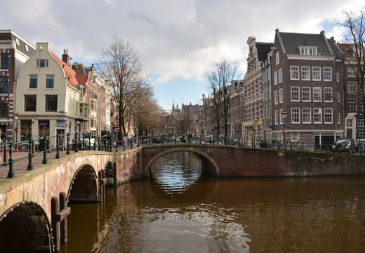
Canal Ring
41 placesAnne Frank House, the nine streets and the canal houses
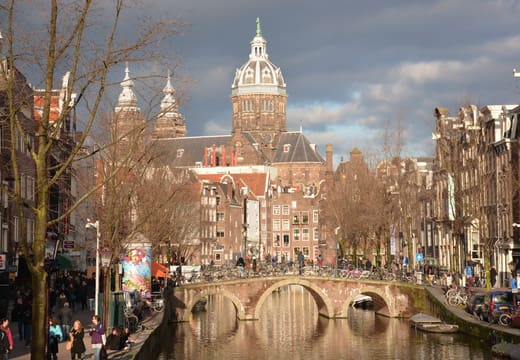
Oude Zijde
22 placesOude Kerk, Rembrandt's house and the old harbour edge
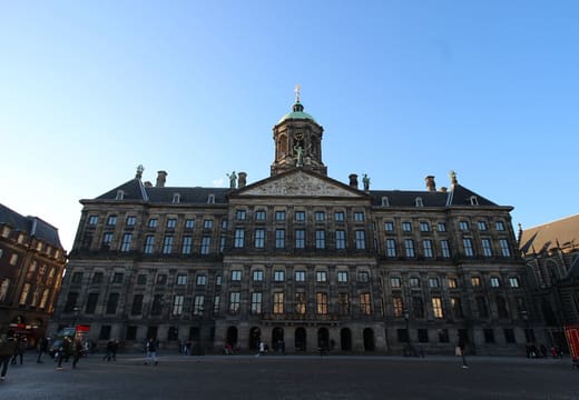
Nieuwe Zijde
21 placesDam Square, Spui and the pedestrian shopping streets
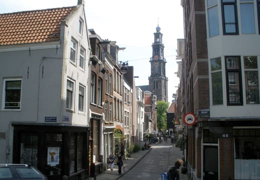
Jordaan
15 placesBrown cafes, a houseboat and Saturday markets
Oud-West
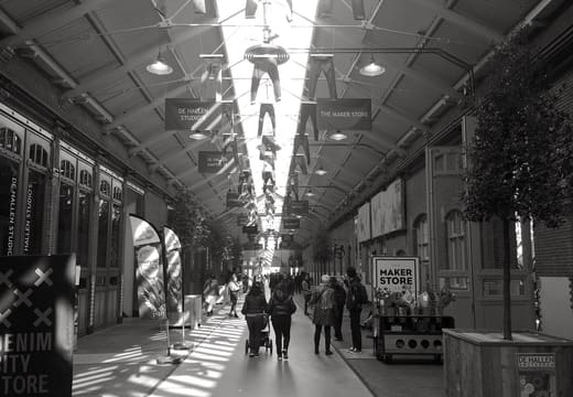
15 placesFoodhallen and neighbourhood markets
Oost
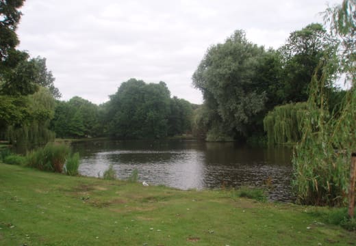
12 placesOosterpark, Dappermarkt and a brewery by the harbour
Noord
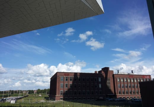
10 placesAcross the IJ: EYE, street art and the NDSM yard
Museumkwartier
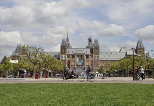
8 placesRijksmuseum, Van Gogh Museum and Stedelijk on one square
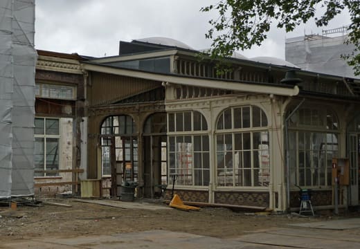
Plantage
8 placesZoo, botanical garden and Jewish Cultural Quarter
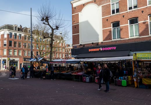
De Pijp
7 placesThe Albert Cuyp Market and the old brewery
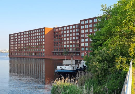
Eastern Docklands
7 placesNEMO, the maritime museum and the IJ waterfront
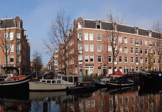
Westerpark and Haarlemmerbuurt
7 placesA park, a brick housing block and a shopping street
Nieuw-West
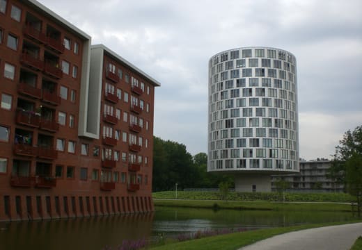
4 placesA windmill, a lake and a former school turned club
Vondelpark and Oud-Zuid
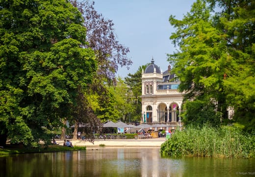
3 placesThe city's biggest park